The Meteorology Department issued a yellow warning for storms, hail and winds on Wednesday, in effect from 11am until 6pm.
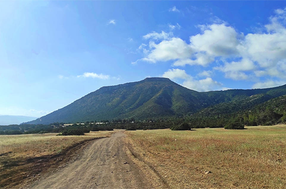
Isolated strong storms are expected to affect the mountains, as well as areas inland and in the east, accompanied by hail and strong winds. Rainfall is expected to range between 35 and 55 millimeters per hour.
The day will start mainly clear with localised low clouds on the coasts. In the afternoon increased clouds will bring local rains and isolated storms in the mountains, inland and the east. Temperatures will rise to 27C inland, 25C on the coast, and 19C in the higher mountains. Winds will be mainly south-to north-westerly, initially light to moderate, up to 4 Beaufort, gradually turning moderate to strong, up to 5 Beaufort. The sea will be slightly rough.
Overnight will be dry and clear with temperatures dropping to 16C in the interior and the coast, and 9C in the higher mountains. Winds will be south-to-northwesterly, and weakened, up to 3 Beaufort, and in the windward coastal areas up to moderate, 4 Beaufort. The sea will remain slightly rough in most areas.
Thursday is forecast to start off mainly clear with localised clouds and further afternoon rains, mainly in the mountains.
Friday and Saturday will be dry with a leap in temperature expected over the weekend. Dust spells with high concentrations are forecast to start on Friday.


Click here to change your cookie preferences