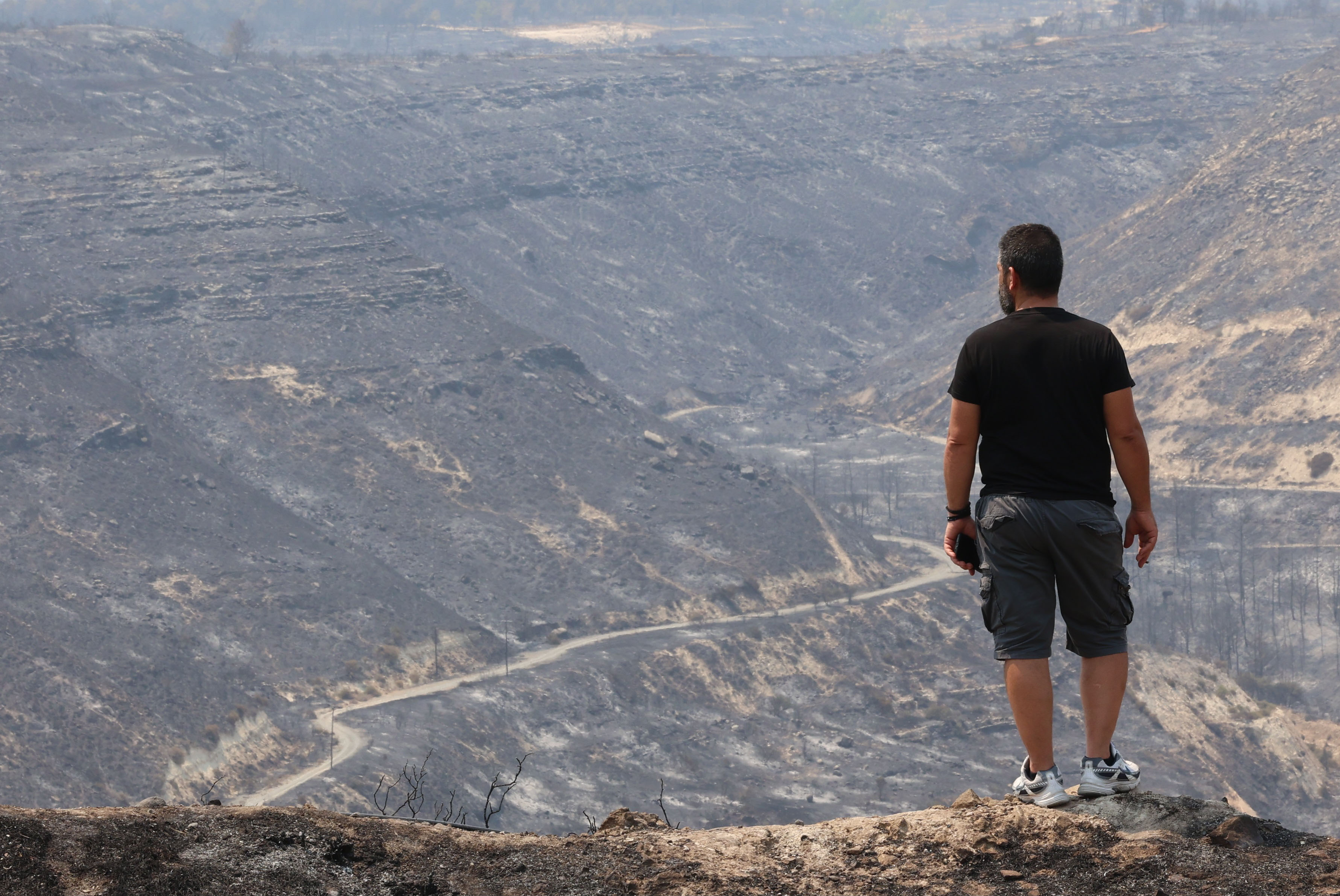
Approximately 120 square kilometres of land has been burned in the Limassol district, according to a preliminary assessment given on Thursday.
In a statement, the Eratosthenes Centre of Excellence (University of Technology) said their preliminary estimate comes from an image obtained from the Sentinel-3 satellite.
The low-resolution image was acquired at 07.30 UTC – or 10.30am – on Thursday.
The centre said it would later post an updated analysis based on higher-resolution imagery.


Click here to change your cookie preferences