A seasonal low-pressure system is currently influencing the region’s weather, bringing mostly clear skies across much of the island on Friday.
However, some areas in the west and north may experience occasional cloud cover. Forecasters say winds will be mostly south-westerly, ranging from light to moderate at force 3 to 4 on the Beaufort scale. Along the coast, winds are expected to strengthen later in the day, reaching up to very strong levels at force 5 to 6. As a result, the sea will become a little rough, especially in exposed coastal areas.
Inland areas are set for a hot day, with temperatures rising to 36C. On the west coast, conditions will be slightly cooler, peaking at 31C, while the rest of the coastline will see temperatures around 33C. In the mountains, the mercury will climb to a more comfortable 30C. On Friday evening, skies will remain partly cloudy in places. Patchy fog or mist is expected to form in low-lying areas, especially late into the night and early morning. Winds will stay light, mainly from the southwest at around 3 Beaufort, and the sea will remain slightly rough.
Over the weekend and into Monday, the weather will stay largely settled. Skies will be mostly clear, with some cloud building at times. There is a slight chance of isolated showers on Sunday and Monday afternoons, especially in the mountainous regions. Despite the shifting cloud patterns, temperatures are not expected to change significantly. They will stay close to the average for this time of year, offering some consistency for those making weekend plans.
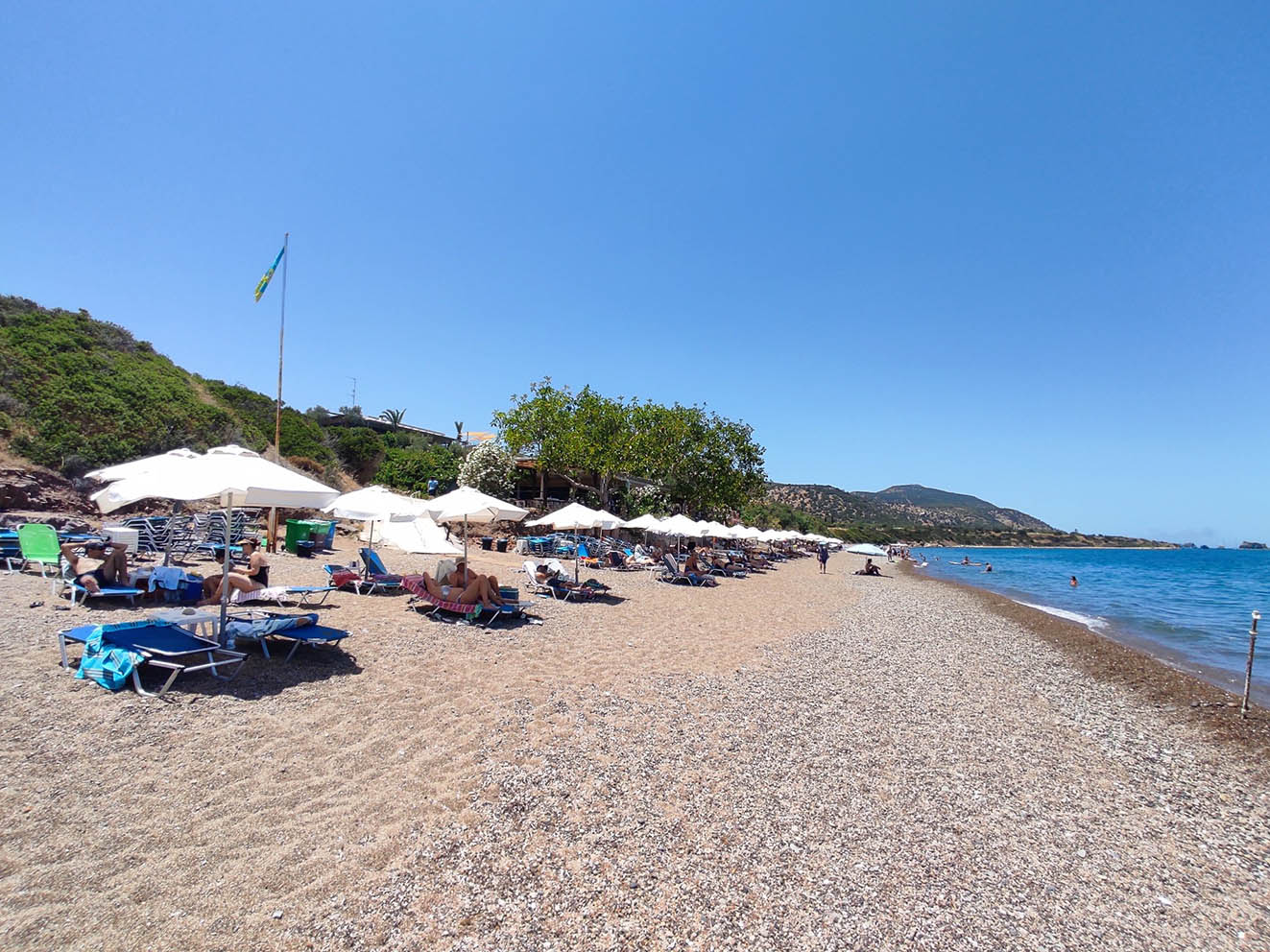
Meteorologists advise people heading outdoors, particularly to inland areas, to stay hydrated and avoid prolonged exposure to the sun during peak hours. Coastal visitors should also be aware of changing sea conditions later in the day.


Click here to change your cookie preferences