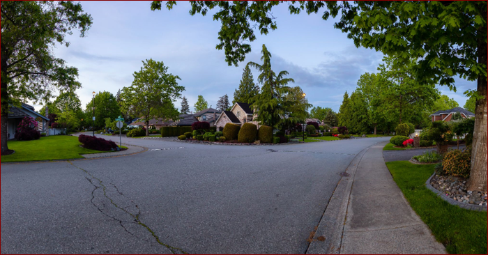
Imagine being able to assess the condition of sidewalks, traffic visibility, or infrastructure in a busy neighborhood without even leaving your office. Whether you’re responsible for maintaining urban roads in Nicosia or planning infrastructure upgrades in Paphos, this is the type of digital insight that’s now possible thanks to Cyclomedia.
Unlike public mapping tools, Cyclomedia offers ultra-precise 360° street-level imagery and data that is built specifically for governments, municipalities, and large infrastructure operators. The goal? Smarter decision-making, safer streets, and more efficient project planning.
Smarter decisions for safer, more livable cities
Local governments across Europe and the U.S. have long used Cyclomedia’s street-level data to optimize city management.
By using Cyclomedia’s high-resolution imagery and LiDAR data, Cypriot municipalities can:
- Conduct remote inspections of roads, sidewalks, signage, lighting and vegetation.
- Improve traffic safety by analyzing dangerous intersections or poorly marked lanes.
- Prioritize public space maintenance more effectively.
- Support environmental goals with accurate tree and surface mapping.
- Speed up permit processing with visual context for planners and stakeholders.
This kind of digital insight is especially valuable when resources are limited, and every planning decision counts.
Supporting Cyprus’s digital transformation in local government
Cyprus has made major progress in digitizing its government services — think of platforms like gov.cy and its expanding e-services. Cyclomedia fits perfectly into this modern, digital-first approach.
With its integration into GIS platforms and urban planning software, Cyclomedia enables Cypriot city officials to respond to citizen reports (like damaged sidewalks or poor lighting) more quickly. It also helps visualize neighborhoods before approving zoning or construction plans and to avoid unnecessary field visits by making decisions directly from up-to-date imagery.
It’s not just about saving time—it’s about making decisions with better data, and building stronger trust with the public through faster responses and clearer communication.
Tourism-focused cities benefit even more from visual data
From Ayia Napa to Larnaca, Cyprus is home to several cities that swell with tourists each summer. This puts added strain on infrastructure, public services, and traffic flow. Cyclomedia’s data gives local governments a clearer picture of what’s happening on the ground—even during peak season.
With this level of detail, local authorities can:
- Plan better pedestrian and traffic flows around beaches and hotspots.
- Monitor wear and tear caused by increased seasonal use.
- Strategically deploy waste services and street maintenance crews.
- Ensure signage and safety infrastructure meets temporary demands.
In tourist-heavy cities, even small changes—like adjusting the location of a crosswalk or adding shade to public spaces—can make a big difference. Cyclomedia gives planners the insight they need to act quickly and effectively.
Improving public communication and transparency
Clear communication between government and citizens is essential. Cyclomedia’s realistic, high-quality imagery helps local officials clearly present plans, explain upcoming changes, or invite community feedback using visuals people can understand at a glance. With better visuals, you get better buy-in from citizens—and better coordination between public and private stakeholders.
Why Cypriot municipalities shouldn’t wait to adopt this technology
Cyprus’s cities are growing. Its infrastructure is aging. Its population—and its tourists—are demanding safer, greener, more accessible public spaces. And the resources to meet those demands are not unlimited.
That’s why it’s time for local governments in Cyprus to embrace data-driven city planning. Cyclomedia’s technology offers a smart, scalable way to manage cities proactively—not reactively.
Whether you’re upgrading infrastructure in rural villages or modernizing traffic flow in Nicosia, Cyclomedia gives you the power to see the problem, understand the context, plan the solution and act faster. From urban safety to sustainable development, better street-level data is now essential—not optional.
DISCLAIMER – “Views Expressed Disclaimer – The information provided in this content is intended for general informational purposes only and should not be considered financial, investment, legal, tax, or health advice, nor relied upon as a substitute for professional guidance tailored to your personal circumstances. The opinions expressed are solely those of the author and do not necessarily represent the views of any other individual, organization, agency, employer, or company, including NEO CYMED PUBLISHING LIMITED (operating under the name Cyprus-Mail).


Click here to change your cookie preferences