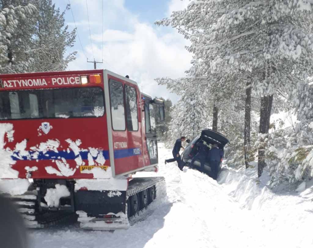
The old Cyprus proverb ‘Save up more logs for the March hearth’, once again shows the wisdom of tradition as a cold snap affecting the island continues, bringing lower temperatures than the UK this week, with yet another gust of the same system expected to touch down on Saturday.
According to the met office, there is regional low pressure, while isolated light showers around the island and snowfalls over the highest reaches of Troodos are expected today, as the depth of snow remains more than a half a metre.
Winds will initially be light southwesterly force three, later turning moderate southwesterly to northwesterly, force four and in the afternoon in southern coastal regions, strong force four to five over slight seas.
Temperatures will rise to 16 degrees Celsius inland and in northern coastal areas, 17 on the rest of the coastal regions and 7 over the mountains.
Local showers are expected this evening, mainly in the western half of the island, with moderate winds and slight seas. Temperatures will drop to four degrees Celsius inland, 6 on the south and east, 8 in the rest of the coastal regions and -1 over the mountains, where frost will form.
Isolated showers tomorrow, with snowfalls expected on Troodos.
Yet another cold snap arrives on Saturday, as temperatures drop well below the seasonal average through the weekend.


Click here to change your cookie preferences