Low barometric ‘Elena’, centred in the south Adriatic Sea, is moving in a southeast direction and is beginning to affect the island.
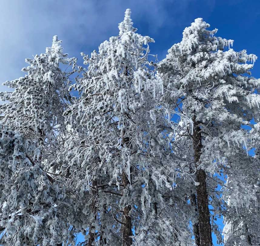
Tuesday will be mainly cloudy in the morning with isolated showers, mostly in the west, and possible thunderstorms across the island later in the day, with sleet or snow in the highest mountains.
Winds will be a gentle to moderate south to southwest breeze, 3 to 4 Beaufort, gradually turning to a moderate to fresh breeze, 4 to 5 Beaufort, over moderate to rough seas.
Temperatures will reach 17C inland, 19C along the coast and 7C in the highest mountains.
Tuesday evening will remain cloudy with isolated showers in the west and sleet or snow in the highest mountains.
Winds will be a gentle to moderate south breeze, 3 to 4 Beaufort, and locally along the coast moderate to fresh, 4 to 5 Beaufort.
Seas will be slight to moderate, and rough in windy areas.
Temperatures will drop to 8C inland, 12C along the coast and 4C in the highest mountains, where frost is expected to form.
On Christmas Day, the weather will start off cloudy with isolated showers, mainly in the west and south, spreading to the whole island by noon with local showers and isolated thunderstorms and possible hail, with sleet or snow in the highest mountains.
Winds will drop to a light breeze by the afternoon.
Temperatures will not record a significant change and will be close to the average for the season.
Thursday and Friday will be mainly cloudy with local showers and isolated thunderstorms, with possible hail and sleet or snow in the highest mountains.
Temperatures will drop on Thursday and will remain below the seasonal average on Friday as well.


Click here to change your cookie preferences