A weak low-pressure system is affecting the area, while a cold air mass is expected to move in from Monday, bringing unsettled weather conditions across the island the met service said on Sunday.
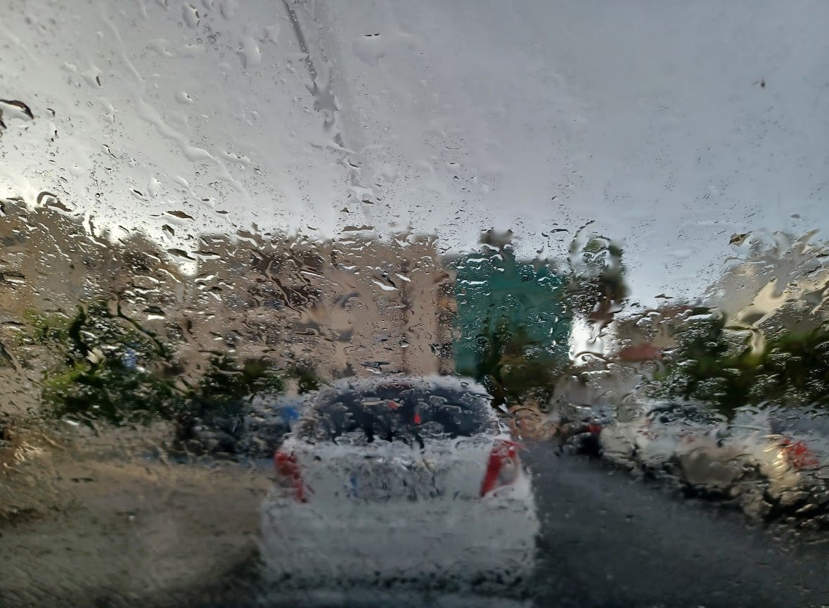
On Sunday, the weather will be partly cloudy at first, with the possibility of isolated showers. Conditions will gradually turn mainly cloudy, with localised rain and the chance of thunderstorms, particularly in western and southern areas. Sleet or snow may fall over the higher mountain regions.
Winds will blow mainly south-westerly, moderate to strong at 4 to 5 Beaufort, becoming temporarily very strong at up to 6 Beaufort in windward areas. The sea will be rough to very rough. Temperatures will rise to around 19C inland and along the coasts, and about 6C in the higher mountains.
Overnight, conditions will remain mainly cloudy, with intermittent local rain and isolated thunderstorms. Snow is expected in the higher mountain areas. Winds will initially remain strong to very strong at 5 to 6 Beaufort, before easing to moderate, around 4 Beaufort. The sea will remain rough to very rough.
Temperatures will drop to around 9C inland, 14C along the west coast, approximately 12C along the remaining coasts, and 4C in the higher mountains, where frost may form locally in sheltered areas.
On Monday, the weather will continue to be mainly cloudy, with periods of local rain, isolated thunderstorms and snowfall in the higher mountains. Temperatures are expected to fall significantly, dropping below seasonal averages.
On Tuesday, skies will be partly cloudy with isolated showers at intervals, while temperatures will edge slightly lower.
By Wednesday, conditions will improve, with mostly clear skies. Temperatures will remain below average through Tuesday before rising on Wednesday to near normal levels for the time of year.


Click here to change your cookie preferences