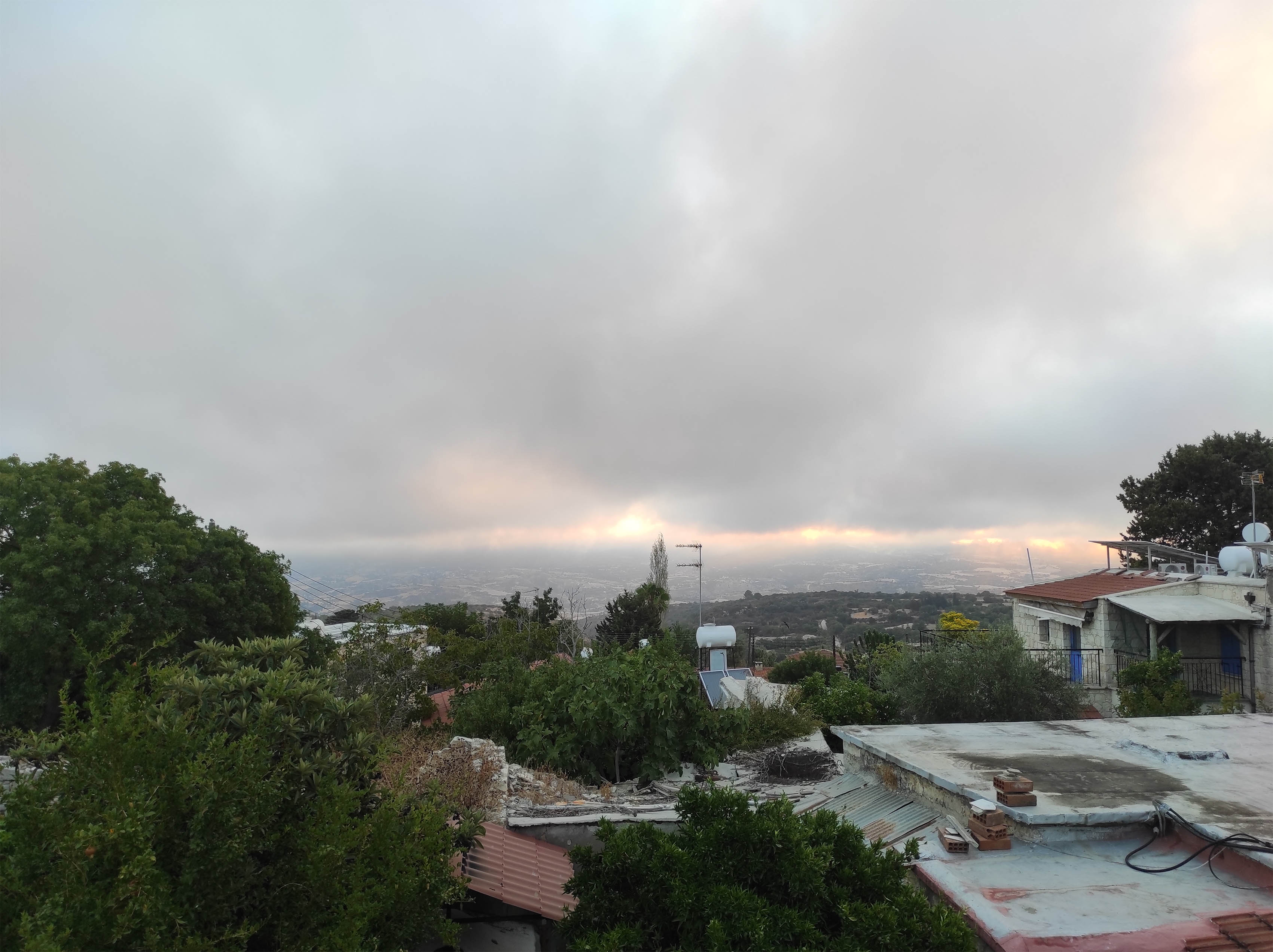
The week begins with increased low cloud and sparse fog or mist, with the weather gradually clearing.
In the afternoon and evening, isolated showers and thunderstorms are expected, mainly in the mountains to the west and south of Troodos, as well as in some inland areas.
Temperatures will rise to around 28 degrees Celsius inland, 24 degrees on the southeast, east and north coasts, and to around 23 degrees along the south west and west coast. Meanwhile, in the higher mountains, temperatures are expected to reach, temperatures are expected to reach 17 degrees.
Mild winds will blow at up to 3 Beaufort, gradually turning to mainly south- to northwest by the afternoon, reaching up to 4 Beaufort.
The sea will be calm to slightly rough.
During the night, the weather will be mostly clear with temporary low clouds along the coast.
Temperatures will drop to around 18 degrees Celsius on the west coast, to around 16 degrees inland and along the remaining coastal areas. Meanwhile, the temperature will drop to 8 degrees in the higher mountains.
Mild winds will blow mainly northwest to northeast and in the northwest southeast at 3 Beaufort. The sea will be generally calm to slightly rough.
On Tuesday, it will initially be mainly clear with some cloud, but clouds developing during the afternoon and evening are expected to produce isolated showers and thunderstorms, mainly in the mountains and eastern parts of the island. Hail may fall in a storm. On Wednesday and Thursday, there will be periods of increased cloud cover locally, while clouds that develop at noon and afterwards are expected to produce isolated showers or thunderstorms, mainly in mountainous and inland areas


Click here to change your cookie preferences