
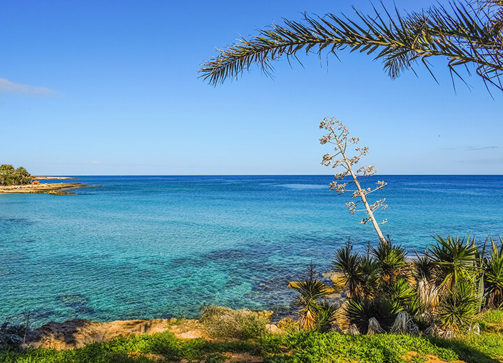
Seasonal low pressure is affecting the area, bringing mostly fine weather on Saturday, with a chance of isolated afternoon showers before temperatures begin to rise again in the coming days.
After early morning low cloud clears, Saturday will be mostly sunny. Later in the day, locally increased cloud is expected to bring isolated showers, mainly over the mountains and eastern parts of the island.
Winds will be southwesterly to northwesterly, initially light to moderate at 3 to 4 Beaufort, briefly strengthening to force 4 and locally force 5, while southeastern coastal areas could see strong winds reaching force 6 later in the day. The sea will be slight to rough, and locally rough.
Temperatures will reach around 34C inland, 30C along the southwest and west coasts, 33C elsewhere on the coast and 25C in the higher mountains.
Overnight, there will initially be periods of increased cloud in the east, where an isolated shower cannot be ruled out. Conditions will gradually become mostly clear, although patches of low cloud are expected to persist in western areas.
Winds will ease from southwesterly to northwesterly at 3 to 4 Beaufort before becoming light and variable overnight. The sea will gradually become slight along southern and eastern coasts, while remaining slight to rough elsewhere.
Temperatures will fall to around 22C inland and along the coast, and to 14C in the higher mountains.
Sunday will be generally mostly sunny, although locally increased cloud during the early afternoon may bring isolated showers, mainly over mountainous areas. Monday and Tuesday are expected to remain mostly clear.
Temperatures will remain largely unchanged on Sunday, staying slightly below seasonal averages, before rising noticeably through Tuesday to above average levels.




Click here to change your cookie preferences