
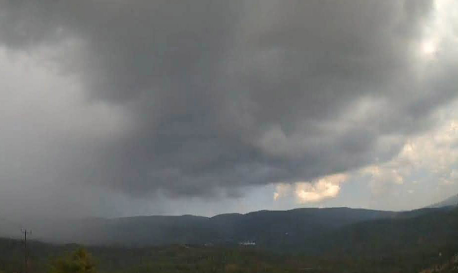
On Saturday, the weather will initially be mainly clear with some local cloud cover, before gradually deteriorating and becoming mostly cloudy, with rain and local storms, which are expected to be accompanied by hail and gusty winds.
Temperatures are expected to rise to around 30 degrees Celsius inland and on the rest of the coast and around 18 degrees in the higher mountains.
Winds will initially blow mainly northeasterly to southeasterly at up to 4 Beaufort and locally increase in strength, reaching up to 5 Beaufort before gradually becoming northwesterly to northeasterly, at up to 5 Beaufort and temporarily in the north up to very strong, 6 Beaufort. In a storm, however, the winds will vary and temporarily strengthen with stronger gusts. The sea will generally be slightly rough to rough.
Tonight, the weather will gradually become mainly clear with locally increased cloud cover while isolated rains are likely to occur on the east and north coasts.
Temperatures will drop to around 21 degrees Celsius inland, around 23 degrees on the coast and around 14 degrees in the higher mountains.
Winds will generally blow from the northwest to the northeast at up to 4 Beaufort. The sea will be slightly rough to rough in the west and north, and gradually become slightly rough in the south and east.
On Sunday, Monday and Tuesday, the weather in most areas of the island will be mainly clear with temporarily increased cloudiness in the afternoon which is likely to produce isolated rains or storms mainly in the mountains, in areas south of Troodos and possibly in the southeast.
Temperatures will rise on Sunday, but will remain below seasonal norms, particularly in the mountains and inland areas. However, by Tuesday, temperatures are expected to return to their usual seasonal averages.
An orange weather warning is in place





Click here to change your cookie preferences