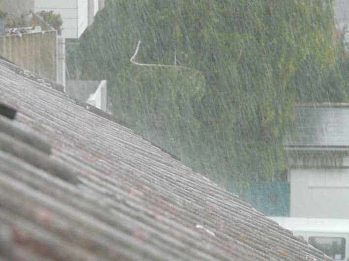
Light, isolated showers are possible on Wednesday morning along the northern and eastern coasts. Early mist and low cloud over inland areas are expected to clear quickly.
By midday, the weather will turn partly cloudy across much of the island. Isolated showers are expected in the east and the north-west, and a brief storm may also form in those areas.
Winds will start light and variable at around 3 Beaufort. They will soon shift to south-west and north-west directions, while in the eastern half of Cyprus they will turn north-east to south-east at 3 to 4 Beaufort.
Sea conditions will remain calm to slightly rough. Temperatures will rise to around 23C inland, in the west and along the northern coast, 24C on the southern and eastern coasts, and 11C in the higher mountains.
Cloud cover will increase tonight, bringing isolated showers mainly to eastern and northern coastal areas. Thin mist or fog may form later, especially inland and in the east during the early hours.
Winds will blow mainly from the north-west to the north-east, and from the south-east along the northern coast, remaining light at 3 Beaufort. The sea will stay calm to slightly rough. Temperatures will fall to around 11C inland, 13C on the coasts and 5C in the higher mountains.
Localised cloud on Thursday is expected to produce isolated showers, with a small chance of a storm over the mountains, the east and the north-west. On Friday, medium and high cloud will move across the island, and thin dust may be present in the atmosphere.
Rain and isolated storms are expected on Saturday, mainly from the afternoon. Temperatures will edge up slightly each day until Saturday, moving above the seasonal average.


Click here to change your cookie preferences