On Wednesday, the weather will be overwhelmingly cloudy. Temperatures are expected to rise to up to 12 degrees Celsius inland, around 15 degrees on the coast and around 4 degrees in the higher mountains.
In Chionistra, the depth of snow stood at 22 centimetres this morning.
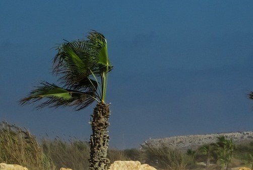
Light to moderate winds will blow north- to southeast at up to 4 Beaufort and strengthen to up to 5 Beaufort later in the day. Along the coast, winds may temporarily become strong to very strong at up to 6 Beaufort.
The sea will be generally rough to rough in the southwest, west and north.
During the night, the weather will remain cloudy which are expected to bring isolated rain showers, as well as sleet or snow to the higher peaks of Troodos.
Temperatures are set to drop to around 8 degrees Celsius inland, around 14 degrees on the west coast, around 12 degrees in the remaining coastal areas around 2 degrees in the higher mountains, where frost is expected to form locally.
Strong winds will continue to strike the island north- to southeasterly at up to 5 Beaufort and may temporarily increase to 6 Beaufort on the coasts and up to 7 Beaufort on the west, southwest and north coasts.
The sea will be fairly rough in the south and east, and slightly rough in the west and north.
On Thursday, the weather will remain mainly cloudy with local rains which may be accompanied by thunder, while higher peaks of Troodos may see snow or sleet.
Friday will see a continuation of the mainly cloudy weather, with isolated rain showers and a chance of snow or sleet on the higher peaks of Troodos, though no thunder is expected.
Saturday will be cloudy with local rain and isolated thunderstorms, while snow or sleet expected in the higher mountains.
The temperature will slightly increase until Friday.


Click here to change your cookie preferences