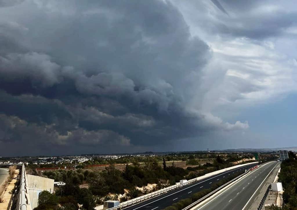
A yellow weather warning is in place with storms expected to affect the island on Saturday afternoon.
Isolated showers and thunderstorms will continue mainly in the south, southeast and north, while cloud cover will gradually increase over mountainous, semi-mountainous, interior, and northwestern regions.
The weather may bring hail, strong gusty winds, and heavy rainfall exceeding 43 millimetres per hour, with a risk of localised flash flooding.
Roads in Troodos, particular the Platres-Troodos, Karvounas-Troodos, and Prodromos-Troodos roads, will be open only to vehicles with four-wheel drive or snow chains due to expected hail accumulation.
During the evening, the weather will gradually clear across most areas, though some local clouds will persist. Brief periods of increased cloudiness, especially along the coast, may bring isolated showers
Temperatures will remain slightly below seasonal averages, ranging from 22 to 25 degrees Celsius in inland lowland areas, 22 to 24 degrees along the coast, and around 8 degrees in Chionistra.
Due to the issued yellow warning, the public is advised to secure loose items, avoid walking under trees, stay away from coastal and marine areas and drive with particular caution due to increased risk of falling debris and other hazards.


Click here to change your cookie preferences